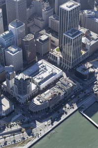
Microsoft Virtual Earth and integration
 This video shows some great integration between different information sources:
- Satellite imagery
- Low flying aircraft imagery
- Vector mapping data
- Local “yellow pages” type information
You can take this integrated data and share it as:
- Directions
- Blog posts to MSN Spaces
And they implied that a Win32/.net client is under development and you can image the sort of integration that that will have with GPS, Outlook etc.
Of course google maps has some similar features, what’s will be interesting about Virtual Earth is the integration and the thick client possibilities.

